As part of the cluster around Pulau Semakau, Pulau Jong has been recommended by the Singapore Blue Plan 2018 for Immediate Conservation Priority.
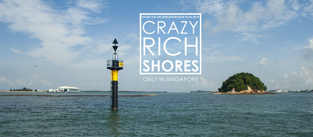
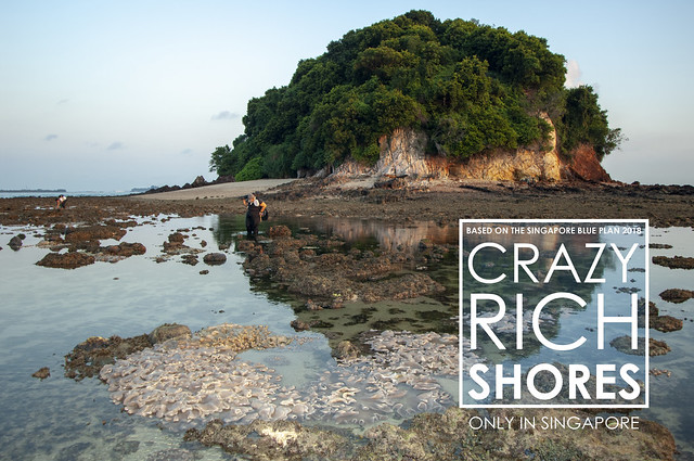
Shaped like a 'pau' (Chinese dumpling), the island sticks out above the high tide. But it has a massive reef flat that only emerges at low tide. This reef flat together with the domed island is said to resemble the silhouette of a Chinese sailing junk, and possibly how it got named 'Jong'. A beacon marks the extent of the reef flat for safe navigation.
Pulau Jong is cloaked in a lush coastal forest that shelters many rare and endangered native plants. It has interesting rock formations too.
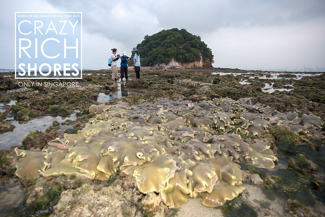
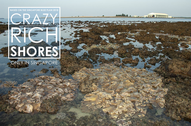
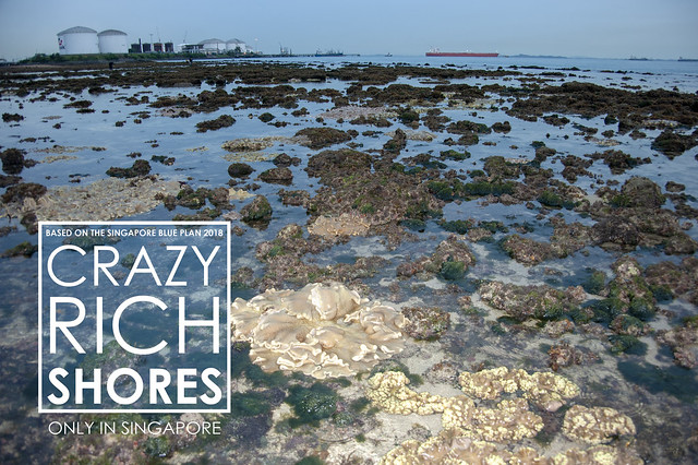
Huge leathery soft corals are found on the reef flats of Pulau Jong, which lie next to the Semakau Landfill. In this photo is the Transfer Station where barges bring incinerated waste from the mainland.
On the southern tip of Pulau Jong is Pulau Sebarok with huge storage tanks containing petrochemical products. On the northern side, the massive petrochemical plants on Pulau Bukom.
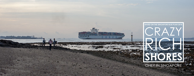
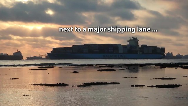
The Jong Fairway is next to Pulau Jong. The Fairway is a major and busy 'highway' in the sea used by humungous vessels that call at Singapore port and container terminals.
Here's a glimpse of Pulau Jong during a low tide survey.
Pulau Jong is also a dive site, although not very popular with recreational divers due to strong currents. Researchers and volunteers who help them, do dive to survey and keep an eye on the health of marine life in the waters surrounding the island. Chay Hoon shares a glimpse of a recent dive survey there.
Lisa shares glimpses too!
The Singapore Blue Plan 2018
Pulau Semakau and nearby islands and submerged reefs have been recommended by the Singapore Blue Plan 2018 for Immediate Conservation Priority.
The Blue Plan recommends the intertidal and subtidal marine areas of Pulau Semakau and adjacent Pulau Hantu, and Pulau Jong to be designated Marine Reserve.
The Blue Plan highlights that Pulau Semakau and its associated patch reefs comprise many ecosystems: coral reefs, mangrove areas, intertidal sandflats, seagrass meadows, and coral reefs. The subtidal area of Pulau Jong is larger than the terrestrial area. Pulau Hantu is a popular dive site has seen increasing interest in the past decade due to biodiversity awareness. If protection is accorded to these three islands, zonation plans for use can be implemented to manage tourism and human impacts.
DOWNLOAD the Plan, SUPPORT the Plan! More on the Singapore Blue Plan 2018 site.
This article first appeared on the wild shores of singapore blog.

No comments:
Post a Comment